
949.777.2000
Employee Portal
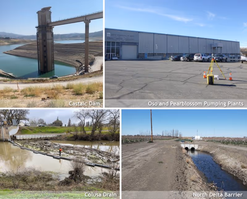
GUIDA is providing statewide on-call land surveying services to the Department of Water Resources (DWR) Survey Branch on projects associated with large hydroelectric pumping and generation plants; large diameter pipelines; dams; reservoirs; water conveyance related structures and buildings; environmental mitigation, restoration, and enhancement facilities; flood protection facilities, land subsidence; dredging and sediment removal; aqueducts; levees; roads; bridges; multi-purpose buildings; and fish passage structures. The services required under this contract cover a broad spectrum of both traditional land surveying services along with innovative technologies and solutions such as hydrographic, LiDAR, and UAV surveys.
This on-call is challenging due to the nature of a large service territory and vast scope of work. GUIDA, along with our subconsultant teaming partners, has proven experience of being a well-managed, cohesive team that covers DWR’s entire service area and the vast scope of work, practicing open and frequent communication, providing the ability to easily access cloud-based systems, and adhering to a rigorous quality control process.
Emergency Response Services:
GUIDA can provide surveying and mapping services typically within 24 to 48 hours; however, when necessary, we are able to respond more quickly, sometimes in as little as 2 to 4 hours. Recently, under our current DWR On-Call Land Surveying Services contract, the GUIDA team was asked to respond to an urgent request to provide UAV night vision imagery at the Oroville Dam to being monitoring the water intakes at Lake Oroville during the overnight hours. The request was received on Tuesday at noon and the team was able to be on-site providing the imagery by 10pm that evening and continued to provide imagery for the next 6 evenings as requested by DWR and the Lake Oroville Dam team.
Boundary Survey
Topographic and LiDAR Survey
Construction Survey
Deformation Monitoring
Aerial Mapping & Airborne LiDAR
Land Net Survey & Mapping
Legals & Plats
Right of Way Survey
Tunnel and Pipeline Survey
Utility Mapping
We're Here to Help
Have a question or need guidance?
Our team is ready to help.
Or connect with us directly at one of our offices below.
380 State Place
Escondido, CA 92029
4695 Chabot Dr, Suite 115
Pleasanton, CA 94588
3237 E Guasti Rd, Suite 260
Ontario, CA, 91761
220 Commerce, Suite 150
Irvine, CA 92602
550 W. Alluvial Ave, Suite 109
Fresno, CA 93711
900 E. Hamilton Ave, Suite 100
Campbell, CA 95008
949.777.2000