
949.777.2000
Employee Portal
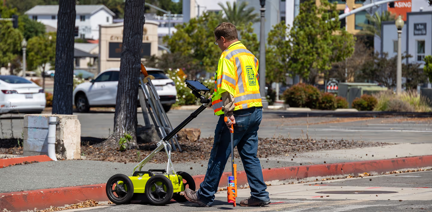
Maps often lack the precision needed to ensure proper clearance and can sometimes be outdated or even inaccurate, while detailed maps for other areas may have yet to be created. GUIDA Surveying, Inc. (GUIDA) utilizes the latest in electromagnetic, ground penetrating radar (GPR), and surveying technology to thoroughly identify and map subsurface utilities so you can move forward with your project with the confidence you deserve.
Cost Savings On Highway Projects Utilizing Subsurface Utility Engineering. (1999, December).
GUIDA utilizes a multitude of detection and location methods in order to efficiently identify subsurface utilities giving our clients more accuracy and assurance than existing maps can typically provide.
GUIDA utilizes a variety of methods, or a combination of them, to develop the design surveys required for any project. Design survey data can be developed from conventional survey methods, such as total stations, GPS/GNSS methods, and by terrestrial and mobile LiDAR methods.
GPR is a nondestructive tool allowing GUIDA’s team to detect non-metallic materials such as plastics, concrete, ceramics and fiber optic cables, using radar pulses to image subsurface structures.
We're Here to Help
Have a question or need guidance?
Our team is ready to help.
Or connect with us directly at one of our offices below.
380 State Place
Escondido, CA 92029
4695 Chabot Dr, Suite 115
Pleasanton, CA 94588
3237 E Guasti Rd, Suite 260
Ontario, CA, 91761
220 Commerce, Suite 150
Irvine, CA 92602
550 W. Alluvial Ave, Suite 109
Fresno, CA 93711
900 E. Hamilton Ave, Suite 100
Campbell, CA 95008
949.777.2000