
949.777.2000
Employee Portal
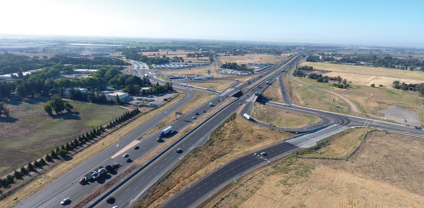
The various survey elements may include cadastral and title research, field reconnaissance and recovery, boundary analysis, boundary monumentation, land net surveys and mapping, legal descriptions and plats, appraisal maps, right of way maps, and survey support for the condemnation process. GUIDA works closely with the design engineer to perform cadastral and title research and land net mapping that supports the overall engineering project, aids in the development of right of way requirements, and provides the supporting acquisition survey support to assist the project owner in acquiring the requisite fee and/or easement rights.
GUIDA’s staff brings hundreds of years of land surveying experience combined; this includes performing cadastral and title research to support property acquisition and development. Understanding the history of a parcel of land is imperative in establishing existing boundary lines and developing new right of way.
GUIDA provides detailed land net surveys to tell the story of property ownership for any right of way project. It provides the client with existing property ownership, rights of way, easements, encumbrances, etc.
GUIDA understands that whether to support fee or easement acquisitions, there are many methods and documents used to acquire property. From appraisal mapping, legal descriptions and plats, or condemnation exhibits, GUIDA is well versed in what is required for both public and private projects.
GUIDA has prepared condemnation packages for various clients and understands what is required to meet the rigorous legal requirements. When an impasse is reached between property owner and project owner, condemnation is a method of obtaining property rights for a public improvement project.
We're Here to Help
Have a question or need guidance?
Our team is ready to help.
Or connect with us directly at one of our offices below.
380 State Place
Escondido, CA 92029
4695 Chabot Dr, Suite 115
Pleasanton, CA 94588
3237 E Guasti Rd, Suite 260
Ontario, CA, 91761
220 Commerce, Suite 150
Irvine, CA 92602
550 W. Alluvial Ave, Suite 109
Fresno, CA 93711
900 E. Hamilton Ave, Suite 100
Campbell, CA 95008
949.777.2000